
Crockham Hill topographic map
Interactive map
Click on the map to display elevation.
About this map
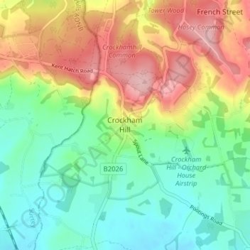
Name: Crockham Hill topographic map, elevation, terrain.
Location: Crockham Hill, Sevenoaks, Kent, England, TN8 6RR, United Kingdom (51.21697 0.04442 51.25697 0.08442)
Average elevation: 118 m
Minimum elevation: 55 m
Maximum elevation: 214 m
Kent trails, hiking, mountain biking, running and outdoor activities
Other topographic maps
Click on a map to view its topography, its elevation and its terrain.