
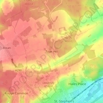
Tyler Hill topographic map
Interactive map
Click on the map to display elevation.
About this map
Name: Tyler Hill topographic map, elevation, terrain.
Location: Tyler Hill, Canterbury, Kent, England, CT2 9NE, United Kingdom (51.28781 1.04931 51.32781 1.08931)
Average elevation: 56 m
Minimum elevation: 4 m
Maximum elevation: 83 m
Kent trails, hiking, mountain biking, running and outdoor activities
Other topographic maps
Click on a map to view its topography, its elevation and its terrain.
Reculver Country Park
United Kingdom > England > Kent > Canterbury > Hillborough
Average elevation: 10 m