
大野市 topographic map
Interactive map
Click on the map to display elevation.
About this map
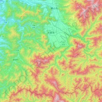
Name: 大野市 topographic map, elevation, terrain.
Location: 大野市, 福井県, 中部地方, 日本 (35.75029 136.41597 36.08629 136.83236)
Average elevation: 589 m
Minimum elevation: 17 m
Maximum elevation: 1,611 m
Other topographic maps
Click on a map to view its topography, its elevation and its terrain.