
Villa Mascarel topographic map
Interactive map
Click on the map to display elevation.
About this map
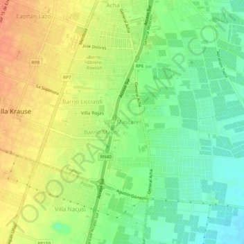
Name: Villa Mascarel topographic map, elevation, terrain.
Location: Villa Mascarel, Rawson, San Juan, 5423, Argentina (-31.60364 -68.54117 -31.56364 -68.50117)
Average elevation: 622 m
Minimum elevation: 600 m
Maximum elevation: 644 m
Other topographic maps
Click on a map to view its topography, its elevation and its terrain.