
Matagusanos topographic map
Interactive map
Click on the map to display elevation.
About this map
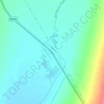
Name: Matagusanos topographic map, elevation, terrain.
Location: Matagusanos, Ullúm, San Juan, Argentina (-31.25736 -68.64971 -31.23736 -68.62971)
Average elevation: 900 m
Minimum elevation: 886 m
Maximum elevation: 950 m
Other topographic maps
Click on a map to view its topography, its elevation and its terrain.