
Pean Hill topographic map
Interactive map
Click on the map to display elevation.
About this map
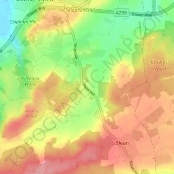
Name: Pean Hill topographic map, elevation, terrain.
Average elevation: 52 m
Minimum elevation: -1 m
Maximum elevation: 95 m
Kent trails, hiking, mountain biking, running and outdoor activities
Other topographic maps
Click on a map to view its topography, its elevation and its terrain.
Reculver Country Park
United Kingdom > England > Kent > Canterbury > Hillborough
Average elevation: 10 m