
后吴社区 topographic map
Interactive map
Click on the map to display elevation.
About this map
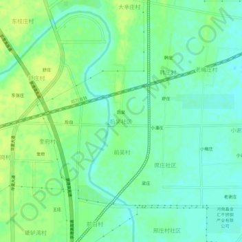
Name: 后吴社区 topographic map, elevation, terrain.
Location: 后吴社区, 长葛市, 许昌市, 河南省, 中国 (34.25973 113.81382 34.29973 113.85382)
Average elevation: 91 m
Minimum elevation: 83 m
Maximum elevation: 100 m
Other topographic maps
Click on a map to view its topography, its elevation and its terrain.