
Hillborough topographic map
Interactive map
Click on the map to display elevation.
About this map
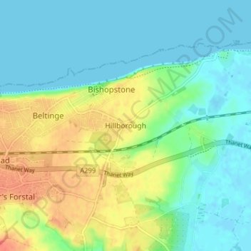
Name: Hillborough topographic map, elevation, terrain.
Location: Hillborough, Canterbury, Kent, England, CT6 6SP, United Kingdom (51.34771 1.15505 51.38771 1.19505)
Average elevation: 15 m
Minimum elevation: -1 m
Maximum elevation: 45 m
Kent trails, hiking, mountain biking, running and outdoor activities
Other topographic maps
Click on a map to view its topography, its elevation and its terrain.
Reculver Country Park
United Kingdom > England > Kent > Canterbury > Hillborough
Average elevation: 10 m