
Melawi topographic map
Interactive map
Click on the map to display elevation.
About this map
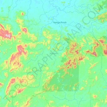
Name: Melawi topographic map, elevation, terrain.
Location: Melawi, West Kalimantan, Kalimantan, 79672, Indonesia (-1.32033 111.11389 -0.12754 112.46275)
Average elevation: 213 m
Minimum elevation: 21 m
Maximum elevation: 1,587 m
Other topographic maps
Click on a map to view its topography, its elevation and its terrain.