
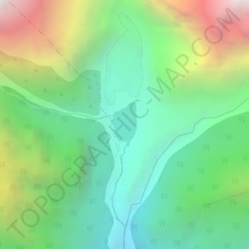
Kapuche Glacier Lake topographic map
Interactive map
Click on the map to display elevation.
About this map
Name: Kapuche Glacier Lake topographic map, elevation, terrain.
Average elevation: 2,908 m
Minimum elevation: 2,179 m
Maximum elevation: 4,365 m
Other topographic maps
Click on a map to view its topography, its elevation and its terrain.
Machapuchare
Nepal > Gandaki Province > Kaski
Due to its southern position in the range and the particularly low terrain that lies south of the Annapurna Himalayas, which contains three of the 10 highest peaks in the world, Machapuchare commands tremendous vertical relief in a short horizontal distance. This, combined with its steep, pointed profile,…
Average elevation: 5,746 m
Phewa Lake
Nepal > Gandaki Province > Kaski > Pokhara
Phewa Lake, Phewa Tal or Fewa Lake (Nepali: फेवा ताल, [ˈpʰewa tal]) is a freshwater lake in Nepal formerly called Baidam Tal located in the south of the Pokhara Valley that includes Pokhara city and parts of Sarangkot and Kaskikot. It is the second largest lake in Nepal and the largest in…
Average elevation: 884 m