
Makhdumpur topographic map
Interactive map
Click on the map to display elevation.
About this map
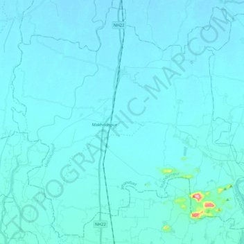
Name: Makhdumpur topographic map, elevation, terrain.
Location: Makhdumpur, Jehanabad, Bihar, India (24.98723 84.89525 25.16102 85.09860)
Average elevation: 77 m
Minimum elevation: 66 m
Maximum elevation: 309 m
Other topographic maps
Click on a map to view its topography, its elevation and its terrain.
Sonbhadra
India > Bihar > Sonbhadra Banshi Suryapur
Sonbhadra, Sonbhadra Banshi Suryapur, Arwal District, Bihar, 824120, India
Average elevation: 74 m
Pashchim Champāran
Pashchim Champāran, Pashchim Champaran, Bihar, India
Average elevation: 207 m
Sultanganj
India > Bihar > Sultanganj
Sultanganj, Bhagalpur, Bihar, 813223, India
Average elevation: 38 m
Patna
India > Bihar > Patna Rural
Patna, Patna Rural, Patna District, Bihar, 800001, India
Average elevation: 51 m