
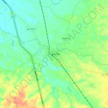
Ban Na Doem topographic map
Interactive map
Click on the map to display elevation.
About this map
Name: Ban Na Doem topographic map, elevation, terrain.
Location: Ban Na Doem, Surat Thani Province, Thailand (8.84773 99.27170 8.92773 99.35170)
Average elevation: 27 m
Minimum elevation: 10 m
Maximum elevation: 56 m
Other topographic maps
Click on a map to view its topography, its elevation and its terrain.