
Wateren topographic map
Interactive map
Click on the map to display elevation.
About this map
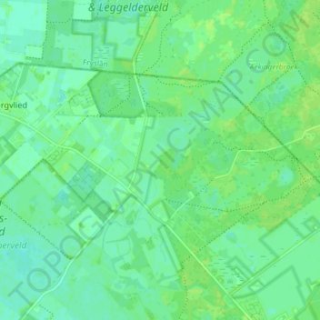
Name: Wateren topographic map, elevation, terrain.
Location: Wateren, Westerveld, Drenthe, Pays-Bas (52.90125 6.25391 52.92729 6.32682)
Average elevation: 10 m
Minimum elevation: 4 m
Maximum elevation: 14 m
Other topographic maps
Click on a map to view its topography, its elevation and its terrain.
De Tippe
Pays-Bas > Drenthe > Drogteropslagen > De Tippe
De Tippe, Drogteropslagen, De Wolden, Drenthe, Pays-Bas, 7701RW, Pays-Bas
Average elevation: 8 m
Wezuperbrug
Pays-Bas > Drenthe > Coevorden
Wezuperbrug, Coevorden, Drenthe, Pays-Bas
Average elevation: 20 m