
曹黄林镇 topographic map
Interactive map
Click on the map to display elevation.
About this map
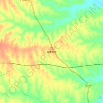
Name: 曹黄林镇 topographic map, elevation, terrain.
Location: 曹黄林镇, 息县, 信阳市, 河南省, 中国 (32.14595 114.75940 32.22595 114.83940)
Average elevation: 63 m
Minimum elevation: 41 m
Maximum elevation: 82 m
Other topographic maps
Click on a map to view its topography, its elevation and its terrain.