
多枝原池 topographic map
Interactive map
Click on the map to display elevation.
About this map
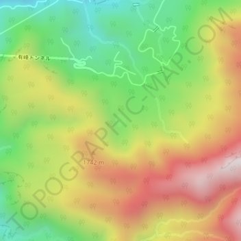
Name: 多枝原池 topographic map, elevation, terrain.
Location: 多枝原池, 富山市, 富山県, 日本 (36.53219 137.54585 36.53367 137.54735)
Average elevation: 1,549 m
Minimum elevation: 1,127 m
Maximum elevation: 2,025 m
Other topographic maps
Click on a map to view its topography, its elevation and its terrain.