
Amba Dinai topographic map
Interactive map
Click on the map to display elevation.
About this map
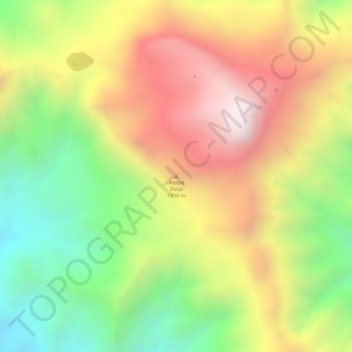
Name: Amba Dinai topographic map, elevation, terrain.
Location: Amba Dinai, Nord Gondar, Amhara, Éthiopie (13.26568 37.81688 13.26578 37.81698)
Average elevation: 1,892 m
Minimum elevation: 1,473 m
Maximum elevation: 2,285 m
Other topographic maps
Click on a map to view its topography, its elevation and its terrain.
Bahir Dar zone spéciale
Bahir Dar zone spéciale, Amhara, Éthiopie
Average elevation: 1,794 m
North Shewa (Amhara Region)
North Shewa (Amhara Region), Amhara, Éthiopie
Average elevation: 1,808 m