Geolocate

El Buur District topographic map

Interactive map

Click on the map to display elevation.

About this map

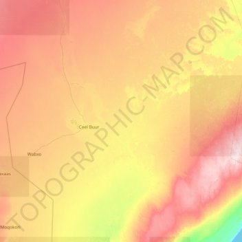
Name: El Buur District topographic map, elevation, terrain.

Location: El Buur District, Galgaduud, Galmudug, Somalia (4.23333 46.11000 5.19813 47.61000)

Average elevation: 182 m

Minimum elevation: 0 m

Maximum elevation: 409 m

Other topographic maps

Click on a map to view its topography, its elevation and its terrain.

Jacar

Somalia > Galgaduud > El Buur District

Average elevation: 126 m

Ceel Dheer

Somalia > Galgaduud > El Dher District

Average elevation: 23 m

Cadad

Somalia > Galgaduud > Dhusamareb District

Average elevation: 125 m

Galcad

Somalia > Galgaduud > El Dher District

Average elevation: 116 m

Derri

Somalia > Galgaduud > El Buur District

Average elevation: 136 m

El Buur

Somalia > Galgaduud > El Buur District

Average elevation: 153 m