
Kampung Tanjung Setul topographic map
Interactive map
Click on the map to display elevation.
About this map
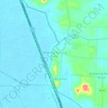
Name: Kampung Tanjung Setul topographic map, elevation, terrain.
Location: Kampung Tanjung Setul, Pendang, Kedah, 06720, Malaysia (5.89193 100.45435 5.93193 100.49435)
Average elevation: 12 m
Minimum elevation: 1 m
Maximum elevation: 77 m
Other topographic maps
Click on a map to view its topography, its elevation and its terrain.
Kampung Baru Bagan Samak
Malaysia > Kedah > Permatang Kerat Telunjuk > Kampung Baru Bagan Samak
Average elevation: 3 m
Kemajuan Tanah (FELDA) Lubok Merbau
Malaysia > Kedah > Kemajuan Tanah (FELDA) Lubok Merbau
Average elevation: 60 m