
Al-Khass topographic map
Interactive map
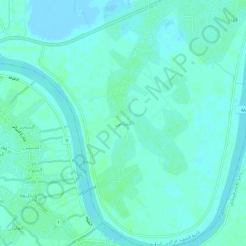
Click on the map to display elevation.
About this map
Name: Al-Khass topographic map, elevation, terrain.
Average elevation: 3 m
Minimum elevation: -3 m
Maximum elevation: 7 m
Other topographic maps
Click on a map to view its topography, its elevation and its terrain.
Al-Anbar Governorate
Anbar is one of the driest governorates in Iraq's western desert climate. Some of Al Anbar is part of the Syrian Desert, characterized by steppe and desert terrain. Most of Al Anbar is considered as a topographical continuation of the Arabian Peninsula plateau region. It has some small hills and a number of…
Average elevation: 399 m
Umm al Binni lake
Based on the interpretation of satellite imagery, Sharad Master suggests the 3.4 km (2.1 mi) in diameter dry lake may be an impact crater based on its nearly circular, slightly polygonal rim shape, and contrasting shape to other lakes in the region. However, the circularity of its shape has been disputed, with…
Average elevation: 2 m