
Mosfellsbær topographic map
Interactive map
Click on the map to display elevation.
About this map
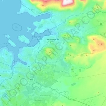
Name: Mosfellsbær topographic map, elevation, terrain.
Location: Mosfellsbær, Capital Region, Iceland (64.07179 -21.75461 64.22019 -21.37191)
Average elevation: 122 m
Minimum elevation: -3 m
Maximum elevation: 840 m
Other topographic maps
Click on a map to view its topography, its elevation and its terrain.