
Jerlun topographic map
Interactive map
Click on the map to display elevation.
About this map
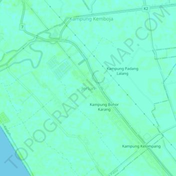
Name: Jerlun topographic map, elevation, terrain.
Location: Jerlun, Kubang Pasu, Kedah, 06150, Malaysia (6.19399 100.24586 6.23399 100.28586)
Average elevation: 3 m
Minimum elevation: 0 m
Maximum elevation: 7 m
Other topographic maps
Click on a map to view its topography, its elevation and its terrain.
Kampung Baru Bagan Samak
Malaysia > Kedah > Permatang Kerat Telunjuk > Kampung Baru Bagan Samak
Average elevation: 3 m
Kemajuan Tanah (FELDA) Lubok Merbau
Malaysia > Kedah > Kemajuan Tanah (FELDA) Lubok Merbau
Average elevation: 60 m