
美濃加茂市 topographic map
Interactive map
Click on the map to display elevation.
About this map
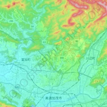
Name: 美濃加茂市 topographic map, elevation, terrain.
Location: 美濃加茂市, Prefectura de Gifu, Japón (35.42990 136.95900 35.55371 137.08681)
Average elevation: 150 m
Minimum elevation: 40 m
Maximum elevation: 544 m
Other topographic maps
Click on a map to view its topography, its elevation and its terrain.