
Glaslyn topographic map
Interactive map
Click on the map to display elevation.
About this map
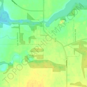
Name: Glaslyn topographic map, elevation, terrain.
Location: Glaslyn, Saskatchewan, S0M 0Y0, Canada (53.35079 -108.36957 53.36568 -108.33805)
Average elevation: 690 m
Minimum elevation: 676 m
Maximum elevation: 701 m
Other topographic maps
Click on a map to view its topography, its elevation and its terrain.
Saskatoon
Canada > Saskatchewan > Saskatoon (city) > Saskatoon
Saskatoon lies on a long belt of rich, potassic chernozem in middle-southern Saskatchewan and is found in the aspen parkland biome. The lack of surrounding mountainous topography gives the city a relatively flat grid, though the city does sprawl over a few hills and into a few valleys. The lowest point in the…
Average elevation: 510 m
Black Lake
Canada > Saskatchewan > Northern Saskatchewan Administration District > Black Lake
Average elevation: 293 m
Denare Beach
Canada > Saskatchewan > Northern Saskatchewan Administration District > Denare Beach
Average elevation: 308 m
Pelican Narrows
Canada > Saskatchewan > Northern Saskatchewan Administration District > Pelican Narrows
Average elevation: 321 m