
问十乡 topographic map
Interactive map
Click on the map to display elevation.
About this map
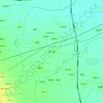
Name: 问十乡 topographic map, elevation, terrain.
Location: 问十乡, 源汇区, 漯河市, 河南省, 中国 (33.42991 113.77171 33.50991 113.85171)
Average elevation: 68 m
Minimum elevation: 61 m
Maximum elevation: 87 m
Other topographic maps
Click on a map to view its topography, its elevation and its terrain.