
Makamba topographic map
Interactive map
Click on the map to display elevation.
About this map
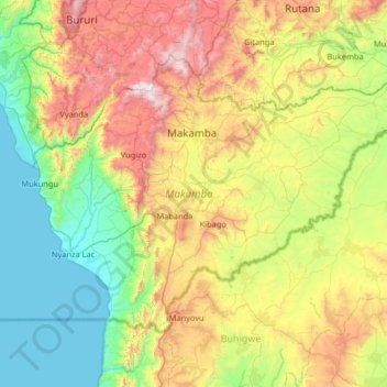
Name: Makamba topographic map, elevation, terrain.
Location: Makamba, Burundi (-4.46932 29.53596 -4.00377 30.18623)
Average elevation: 1,353 m
Minimum elevation: 767 m
Maximum elevation: 2,501 m
Other topographic maps
Click on a map to view its topography, its elevation and its terrain.