
Vrancea topographic map
Interactive map
Click on the map to display elevation.
About this map
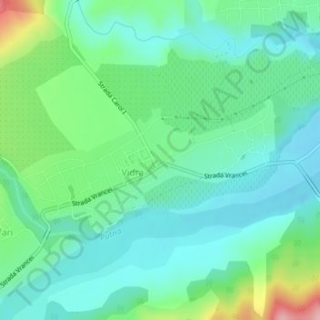
Name: Vrancea topographic map, elevation, terrain.
Location: Vidra, Vrancea, 627415, Rumanía (45.90529 26.88822 45.91651 26.92040)
Average elevation: 263 m
Minimum elevation: 220 m
Maximum elevation: 388 m
Other topographic maps
Click on a map to view its topography, its elevation and its terrain.