
Møre og Romsdal topographic map
Interactive map
Click on the map to display elevation.
About this map
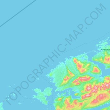
Name: Møre og Romsdal topographic map, elevation, terrain.
Location: Fræna, Møre og Romsdal, Noruega (62.75214 6.49930 63.24640 7.42966)
Average elevation: 47 m
Minimum elevation: -1 m
Maximum elevation: 1,003 m
Other topographic maps
Click on a map to view its topography, its elevation and its terrain.