
Møre og Romsdal topographic map
Interactive map
Click on the map to display elevation.
About this map
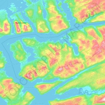
Name: Møre og Romsdal topographic map, elevation, terrain.
Location: Halsa, Møre og Romsdal, Noruega (63.01208 8.10266 63.18983 8.82173)
Average elevation: 219 m
Minimum elevation: -2 m
Maximum elevation: 1,010 m
Other topographic maps
Click on a map to view its topography, its elevation and its terrain.