
Oksenøya topographic map
Interactive map
Click on the map to display elevation.
About this map
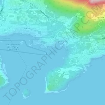
Name: Oksenøya topographic map, elevation, terrain.
Location: Oksenøya, Ålesund, Møre og Romsdal, Noruega (62.42806 6.38777 62.42940 6.39247)
Average elevation: 28 m
Minimum elevation: -1 m
Maximum elevation: 287 m
Other topographic maps
Click on a map to view its topography, its elevation and its terrain.