
Nordland topographic map
Interactive map
Click on the map to display elevation.
About this map
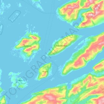
Name: Nordland topographic map, elevation, terrain.
Location: Nesna, Nordland, 8700, Noruega (66.14802 12.62708 66.33155 13.32405)
Average elevation: 138 m
Minimum elevation: -12 m
Maximum elevation: 1,020 m
Other topographic maps
Click on a map to view its topography, its elevation and its terrain.