
Trøndelag topographic map
Interactive map
Click on the map to display elevation.
About this map
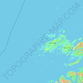
Name: Trøndelag topographic map, elevation, terrain.
Location: Vikna, Trøndelag, 7900, Noruega (64.58879 9.80379 65.26521 11.38125)
Average elevation: 6 m
Minimum elevation: -4 m
Maximum elevation: 441 m
Other topographic maps
Click on a map to view its topography, its elevation and its terrain.