
Hordaland topographic map
Interactive map
Click on the map to display elevation.
About this map
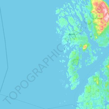
Name: Hordaland topographic map, elevation, terrain.
Location: Bømlo, Hordaland, Noruega (59.49613 4.60369 59.93862 5.47203)
Average elevation: 24 m
Minimum elevation: -1 m
Maximum elevation: 742 m
Other topographic maps
Click on a map to view its topography, its elevation and its terrain.