
Diffa Region topographic map
Click on the map to display elevation.
About this map
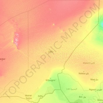
Name: Diffa Region topographic map, elevation, terrain.
Location: Diffa Region, Niger (13.05520 10.61370 18.01550 15.55942)
Average elevation: 364 m
Minimum elevation: 241 m
Maximum elevation: 668 m
Other topographic maps
Click on a map to view its topography, its elevation and its terrain.