
Kanem topographic map
Interactive map
Click on the map to display elevation.
About this map
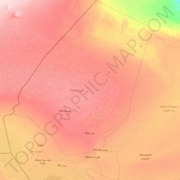
Name: Kanem topographic map, elevation, terrain.
Location: Kanem, Chad (13.15400 13.64423 16.84328 16.68700)
Average elevation: 308 m
Minimum elevation: 185 m
Maximum elevation: 441 m
Other topographic maps
Click on a map to view its topography, its elevation and its terrain.
Missou
Chad > Logone Occidental > Koutou Mare
Missou, Koutou Mare, Logone Occidental, Chad
Average elevation: 396 m
Sangaria
Chad > Hadjer-Lamis > Guitté > Sangaria
Sangaria, Guitté, Hadjer-Lamis, Chad
Average elevation: 284 m
Moundou
Chad > Logone Occidental > Moundou
Moundou, Logone Occidental, 1234, Chad
Average elevation: 438 m