
央达 topographic map
Interactive map
Click on the map to display elevation.
About this map
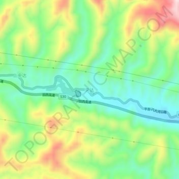
Name: 央达 topographic map, elevation, terrain.
Location: 央达, 百色市, 广西壮族自治区, 中国 (24.46377 104.84360 24.50377 104.88360)
Average elevation: 991 m
Minimum elevation: 839 m
Maximum elevation: 1,239 m
Other topographic maps
Click on a map to view its topography, its elevation and its terrain.