
者隆 topographic map
Interactive map
Click on the map to display elevation.
About this map
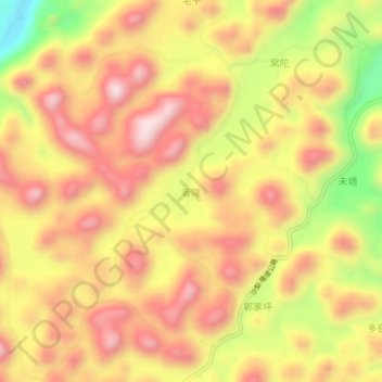
Name: 者隆 topographic map, elevation, terrain.
Location: 者隆, 百色市, 广西壮族自治区, 中国 (24.60866 105.57084 24.64866 105.61084)
Average elevation: 1,236 m
Minimum elevation: 932 m
Maximum elevation: 1,438 m
Other topographic maps
Click on a map to view its topography, its elevation and its terrain.