
那拉 topographic map
Interactive map
Click on the map to display elevation.
About this map
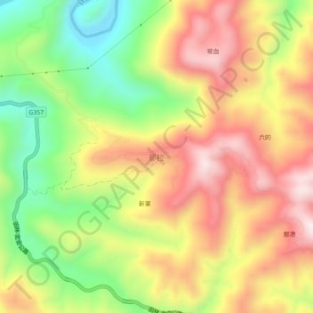
Name: 那拉 topographic map, elevation, terrain.
Location: 那拉, 百色市, 广西壮族自治区, 中国 (24.25619 105.75548 24.29619 105.79548)
Average elevation: 627 m
Minimum elevation: 353 m
Maximum elevation: 884 m
Other topographic maps
Click on a map to view its topography, its elevation and its terrain.