
坝戛 topographic map
Interactive map
Click on the map to display elevation.
About this map
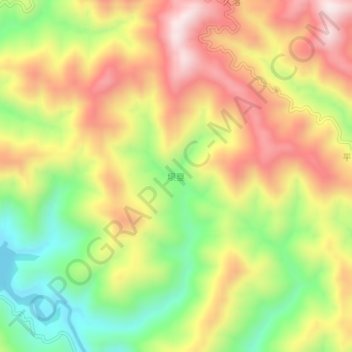
Name: 坝戛 topographic map, elevation, terrain.
Location: 坝戛, 百色市, 广西壮族自治区, 中国 (24.78180 105.10000 24.82180 105.14000)
Average elevation: 1,039 m
Minimum elevation: 752 m
Maximum elevation: 1,317 m
Other topographic maps
Click on a map to view its topography, its elevation and its terrain.