
中解 topographic map
Interactive map
Click on the map to display elevation.
About this map
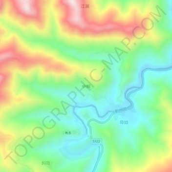
Name: 中解 topographic map, elevation, terrain.
Location: 中解, 百色市, 广西壮族自治区, 中国 (24.77734 105.43831 24.81734 105.47831)
Average elevation: 638 m
Minimum elevation: 424 m
Maximum elevation: 973 m
Other topographic maps
Click on a map to view its topography, its elevation and its terrain.