
尾赖 topographic map
Interactive map
Click on the map to display elevation.
About this map
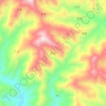
Name: 尾赖 topographic map, elevation, terrain.
Location: 尾赖, 百色市, 广西壮族自治区, 中国 (24.81120 105.29100 24.85120 105.33100)
Average elevation: 963 m
Minimum elevation: 701 m
Maximum elevation: 1,216 m
Other topographic maps
Click on a map to view its topography, its elevation and its terrain.