
营上 topographic map
Interactive map
Click on the map to display elevation.
About this map
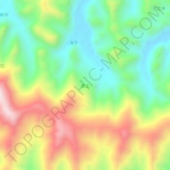
Name: 营上 topographic map, elevation, terrain.
Location: 营上, 百色市, 广西壮族自治区, 中国 (24.56590 105.30500 24.60590 105.34500)
Average elevation: 1,418 m
Minimum elevation: 1,133 m
Maximum elevation: 1,821 m
Other topographic maps
Click on a map to view its topography, its elevation and its terrain.