
八达 topographic map
Interactive map
Click on the map to display elevation.
About this map
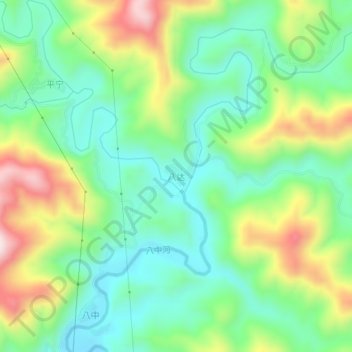
Name: 八达 topographic map, elevation, terrain.
Location: 八达, 百色市, 广西壮族自治区, 中国 (24.46940 105.79000 24.50940 105.83000)
Average elevation: 565 m
Minimum elevation: 421 m
Maximum elevation: 836 m
Other topographic maps
Click on a map to view its topography, its elevation and its terrain.