
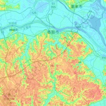
香取市 topographic map
Interactive map
Click on the map to display elevation.
About this map
Name: 香取市 topographic map, elevation, terrain.
Location: 香取市, 千叶县, 日本 (35.75347 140.42484 35.95874 140.65150)
Average elevation: 20 m
Minimum elevation: -3 m
Maximum elevation: 58 m
Other topographic maps
Click on a map to view its topography, its elevation and its terrain.