
豐川市 topographic map
Interactive map
Click on the map to display elevation.
About this map
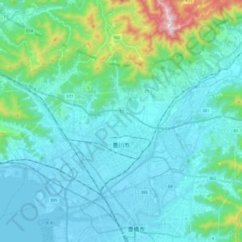
Name: 豐川市 topographic map, elevation, terrain.
Location: 豐川市, 爱知县, 中部地方, 日本 (34.77817 137.25615 34.90975 137.46136)
Average elevation: 116 m
Minimum elevation: -4 m
Maximum elevation: 780 m
Other topographic maps
Click on a map to view its topography, its elevation and its terrain.