
香美市 topographic map
Interactive map
Click on the map to display elevation.
About this map
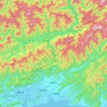
Name: 香美市 topographic map, elevation, terrain.
Location: 香美市, 高知县, 782-0009, 日本 (33.57968 133.59669 33.84086 134.06843)
Average elevation: 523 m
Minimum elevation: -3 m
Maximum elevation: 1,597 m
Other topographic maps
Click on a map to view its topography, its elevation and its terrain.