
松浦市 topographic map
Interactive map
Click on the map to display elevation.
About this map
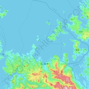
Name: 松浦市 topographic map, elevation, terrain.
Location: 松浦市, 长崎县, 日本 (33.26693 129.61774 33.52646 129.86252)
Average elevation: 49 m
Minimum elevation: -4 m
Maximum elevation: 562 m
Other topographic maps
Click on a map to view its topography, its elevation and its terrain.