
益田市 topographic map
Interactive map
Click on the map to display elevation.
About this map
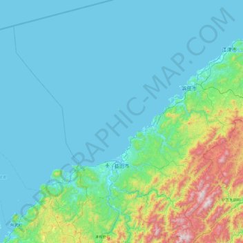
Name: 益田市 topographic map, elevation, terrain.
Location: 益田市, 岛根县, 日本 (34.45035 131.46194 35.15214 132.16193)
Average elevation: 179 m
Minimum elevation: -1 m
Maximum elevation: 1,317 m
Other topographic maps
Click on a map to view its topography, its elevation and its terrain.