
合志市 topographic map
Interactive map
Click on the map to display elevation.
About this map
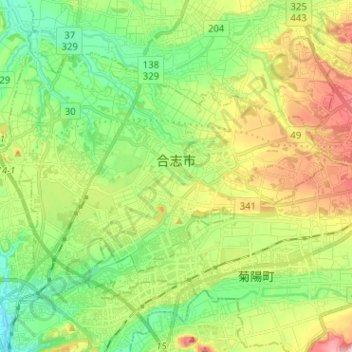
Name: 合志市 topographic map, elevation, terrain.
Location: 合志市, 熊本县, 861-1102, 日本 (32.85152 130.71998 32.92753 130.84711)
Average elevation: 82 m
Minimum elevation: 14 m
Maximum elevation: 194 m
Other topographic maps
Click on a map to view its topography, its elevation and its terrain.