
御坊市 topographic map
Interactive map
Click on the map to display elevation.
About this map
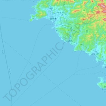
Name: 御坊市 topographic map, elevation, terrain.
Location: 御坊市, 和歌山县, 日本 (33.59671 134.98230 33.95272 135.21602)
Average elevation: 36 m
Minimum elevation: -1 m
Maximum elevation: 756 m
Other topographic maps
Click on a map to view its topography, its elevation and its terrain.